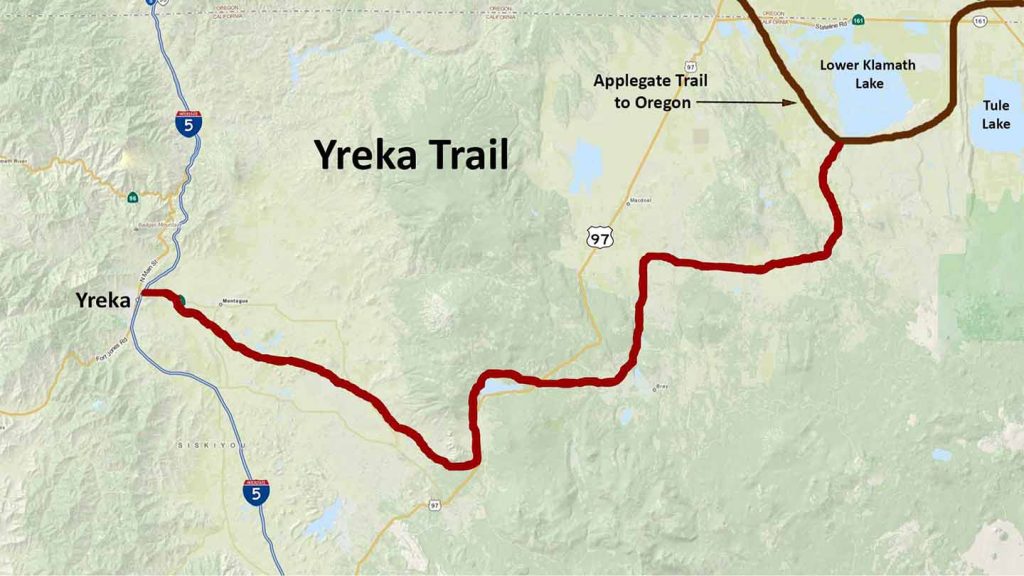
Yreka Trail - 1852
Early in the summer of 1852, John Onsby, of Yreka, received a letter from his uncle, stating that he and many others were coming over the “South Emigrant Trail” (Applegate Trail) bound for Yreka, and he asked that supplies be sent to them. This is the first emigration to Yreka on the Yreka Trail and the first settlers that came by wagons and settled in far Northern California.
The discovery of gold on the Yreka Flats in late March 1851 brought miners on pack trails over the Scott, Salmon, and Siskiyou Mountains into the Scott and Shasta Valleys.
The Yreka Trail opened up far Northern California and Southern Oregon to gold mining, ranching, farming and lumbering. The emigrants used the Yreka trail for eight to ten years.
Following the discovery of gold at Sutter’s Mill in the western Sierra on January 24, 1848, it was discovered in the eastern Klamath Mountains within months by Pierson B. Reading, who found similar conditions west of his large land grant on the Sacramento River at Cottonwood Creek.
In 1849 and into 1850, gold was being mined on several tributaries of the Klamath River, including the Scott and Shasta Rivers.
In 1851, Abraham Thompson, encamped with a group of miners on the flats above the west side of Shasta Valley, discovered surface gold in rich concentrations. Thompson’s Dry Diggings became Shasta Butte City, and by an act of the state legislature on March 22, 1952, Yreka, the county seat.
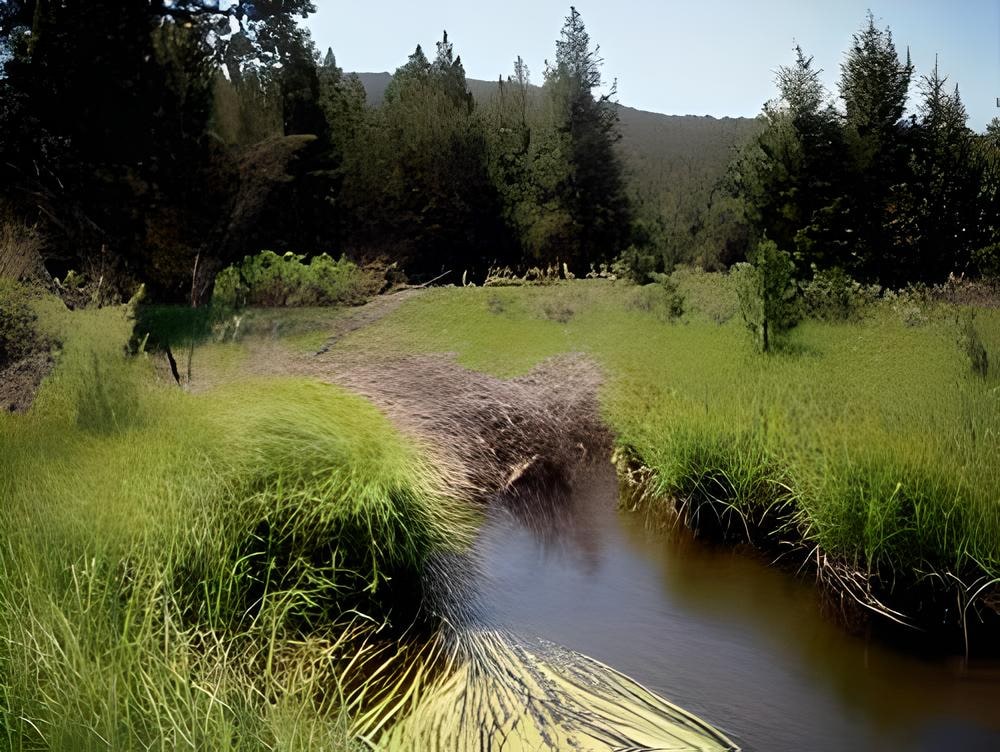
The location of the 1854 ford of Butte Creek was mapped as an OCTA project many years ago. Using the General Land Office field notes, Williamson’s maps, and a survey of Butte Valley done in 1864 by A.M. Jones, Richard Silva felt that after searching for 18 years he had found the location of the 1852 Yreka trail ford of Butte Creek.
H.T. Shepard, September 4, 1852 described this crossing.
“Started at 6 went topine woods took dinner no water or grass then passed on to Bute creek followed it three miles & camped round at little Lake quite stony today….”
The ford at Butte Creek would have been a logical camping spot on the trail since it was eighteen miles beyond the often mentioned camp at Willow Springs over a rocky road.
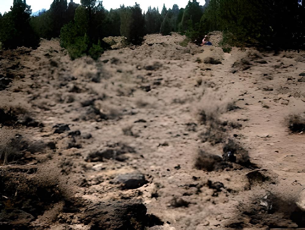
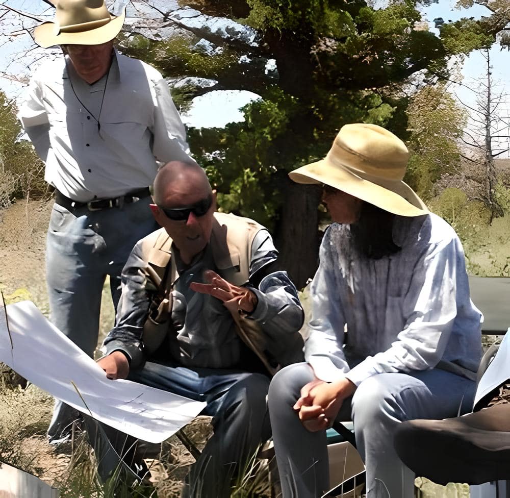
In June 2010, Jeanne Goetz, archaeologist on the Goosenest District of the Klamath National Forest, with the help of retired archaeologist John Hitchcock and Richard and Orsola Silva, led year four of the Yreka Trail PIT Project which focused on this section of the trail.
This PIT project proved segments of the 1852 Yreka trail and although segments have been lost to logging it can now be mapped and classified and will be protected in the future.
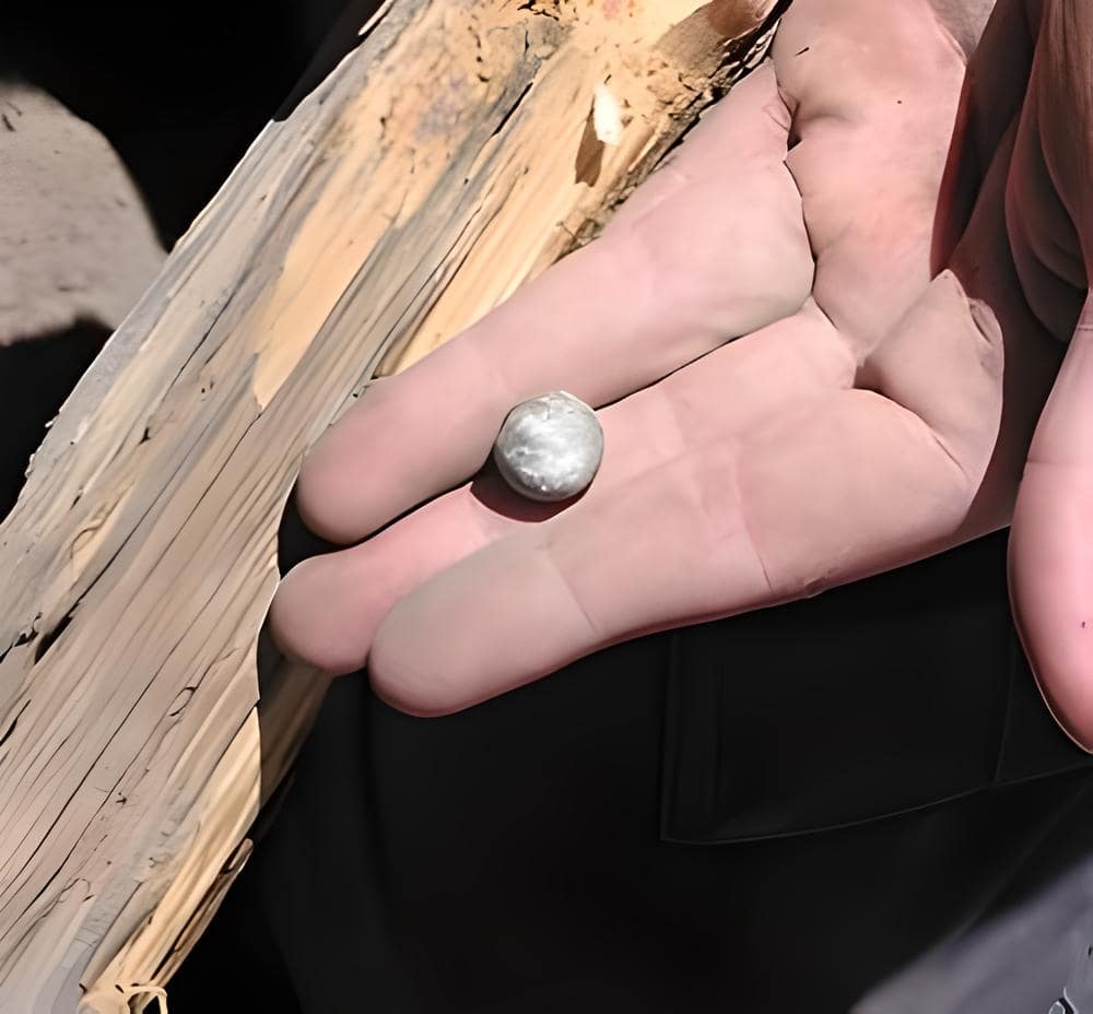
On the northeast side of the creek an area was found with many lead rifle balls and bits of lead that looked like someone made rifle balls at the site. Other artifacts such as a coffee mill, forks, knives and other wagon related hardware were were also found indicating a campsite .
George McCowen August, 29th 1854
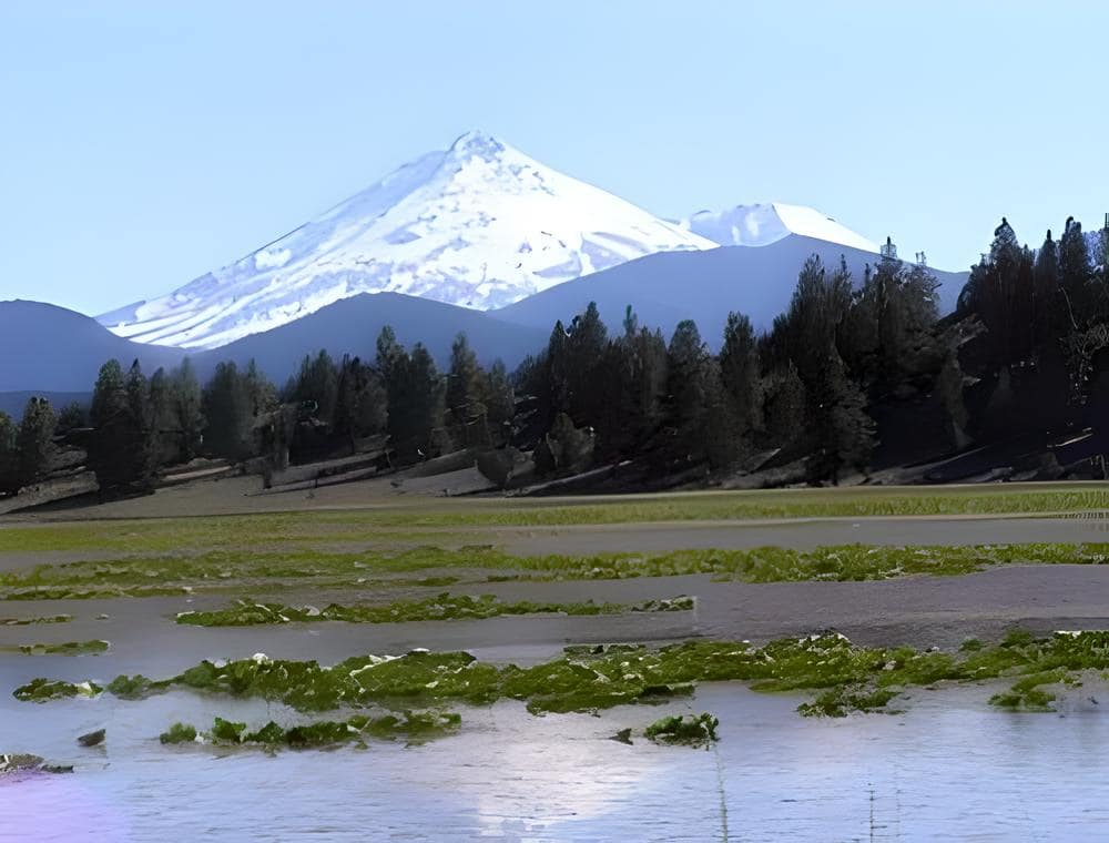
“Three miles from camp crossed the creek (Butte Creek). Then again in about seven miles camped about 2 o’clock on a small lake to the right of the beaten track. Our camp was in a most beautiful place. Mountains on all sides covered with pines.”
George McCowen August, 29th 1854
“Three miles from camp crossed the creek (Butte Creek). Then again in about seven miles camped about 2 o’clock on a small lake to the right of the beaten track. Our camp was in a most beautiful place. Mountains on all sides covered with pines.”
In 1992 Richard and Orsola Silva began locating and mapping the route of the Yreka Trail. They started with no mapping programs or GPS technology. Limited research was available at that time. Most of the work on the Yreka Trail has been digitized with 7.5 minute quads and margin indexing.
The location of the 1854 ford of Butte Creek was mapped as an OCTA project many years ago. Using the General Land Office field notes, Williamson’s maps, and a survey of Butte Valleydone in 1864 by A.M. Jones, Richard Silva felt that after searching for 18 years he had found the location of the 1852 Yreka trail ford of Butte Creek.


H.T. Shepard, September 4, 1852 described this crossing.
“Started at 6 went topine woods took dinner no water or grass then passed on to Bute creek followed it three miles & camped round at little Lake quite stony today….”
Stony road
The ford at Butte Creek would have been a logical camping spot on the trail since it was eighteen miles beyond the often mentioned camp at Willow Springs over a rocky road.


