Grizzly Flat Road - 1852
The names of the men who opened the Grizzly Flat road in 1852 are unknown. The merchants at Grizzly Flat would certainly have benefited from the emigrants taking the Grizzly Flat road and it is likely they had a hand in opening this emigrant route.
The town of Grizzly Flat sits on the ridge between the North and Middle forks of the Cosumnes river. In 1850 a group of miners were preparing their evening meal when a large grizzly appeared at their camp and hence the name Grizzly Flat.
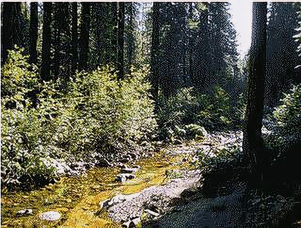
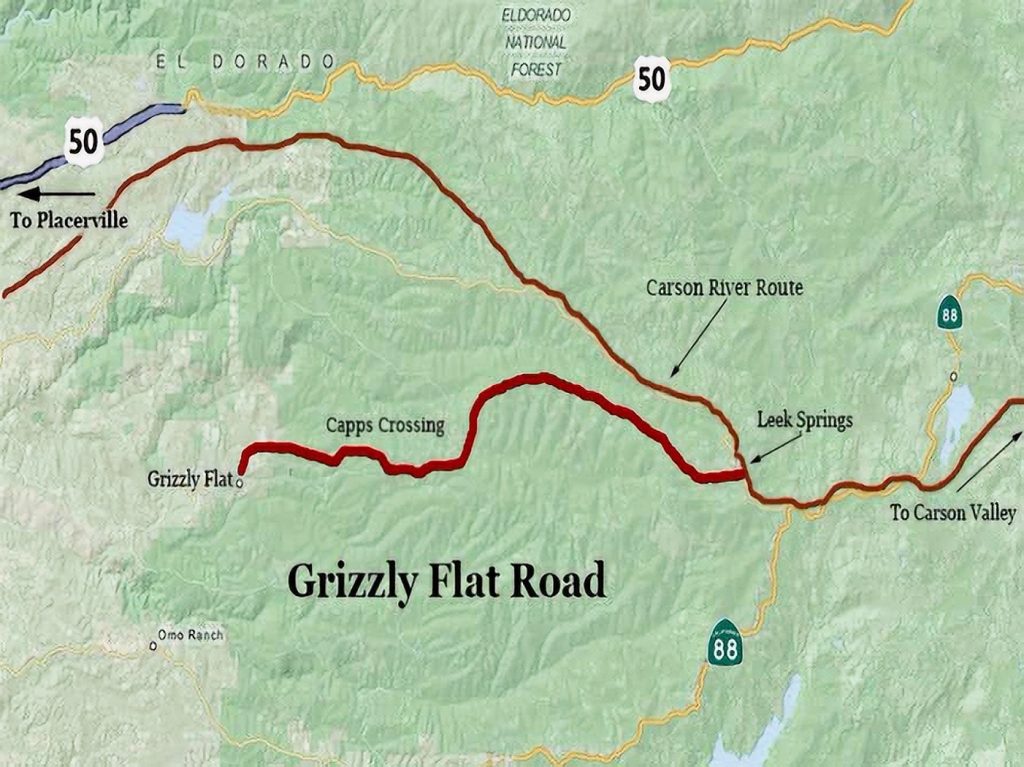
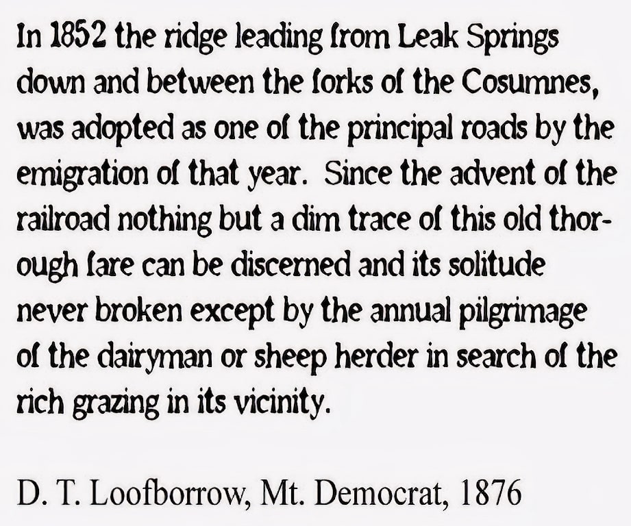
The Grizzly Flat Road leaves the Carson River Route at Leek Springs and follows Baltic ridge west, descending to Capps Crossing on the Cosumnes River.
Ascending the hill south of the river it follows ridges down to the tow of Grizzly Flat. It was used as an alternative route to Placerville and Ione. Emigrant diaries describe completing the twenty-mile road in a day, although some camped about halfway on the river, at Capps Crossing.
Jim Beckwourth Museum
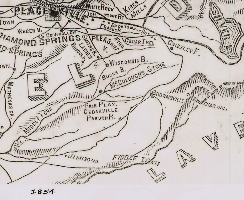
Diaries Describe the Road Through Grizzly Flat as a Cutoff to the Southern Mines
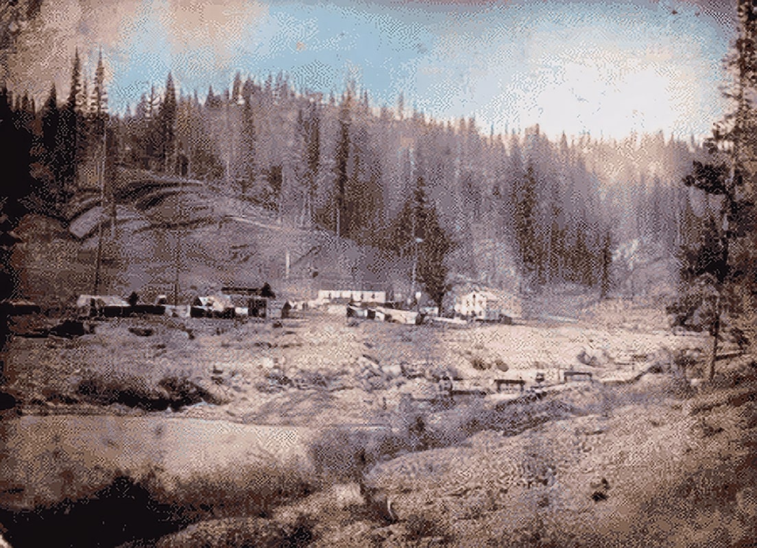
Grizzly Flat 1852
